


The global GIS software landscape today is more dynamic than ever, demonstrating steady and confident expansion. The market for GIS solutions is going to grow from $17.88 billion in 2025 to an estimated $19.37 billion in 2026, and 39.80 billion in 2035, fueled by the increasing demand for smart analytics and accurate location intelligence. Numerous sectors, including logistics, healthcare, agriculture, and transportation, benefit from real-time monitoring and other powerful opportunities provided by geospatial technology.
Companies seeking to reinforce their competitive stance by integrating GIS software into their workflows must recognize the need for comprehensive modernization. When the system has a rigid architecture, significant technical debt, slow development speed, and poor integrations, implementing advanced technology without prior preparation is like “fixing a cracked foundation by painting the walls,” according to Igor Omelianchuk.
Therefore, it’s crucial to find the right GIS software modernization partner who can assess the existing software and introduce a competent modernization strategy. It eliminates security and compliance risks, as well as prevents poor adoption and missed expansion opportunities. Established on the proper foundation, tailored GIS solutions integrate seamlessly with cloud infrastructure, AI-enhanced analytics, and real-time data flows.
Here’s the selection of the top 5 GIS software development companies in 2026, which you can rely on in creating scalable, future-ready geospatial solutions.
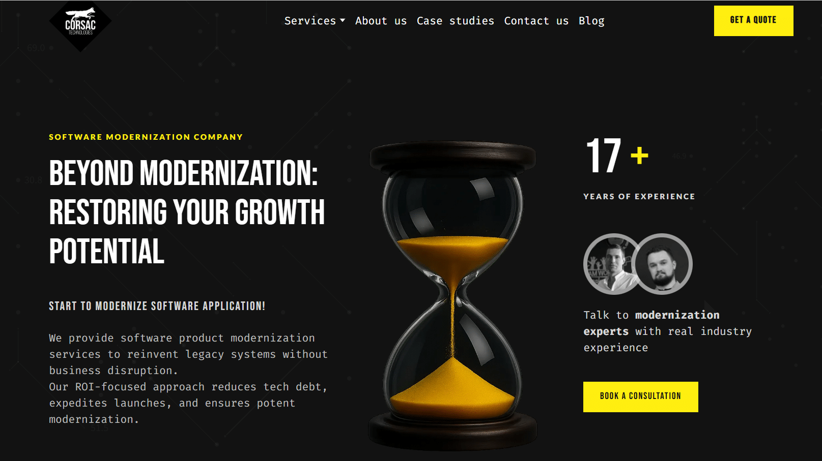
Corsac Technologies
Core GIS Stack: ArcGIS, QGIS, AutoCAD, MapInfo
Data Processing: LiDAR, satellite imagery, analog maps, planimetry
Data Conversion: GeoJSON, KML, CSV, DWG, DXF, GeoTIFF, Python tools
Hourly Rate: Undisclosed
Team Size: 50–249
Founded: 2007
Markets: USA, Europe
Corsac Technologies specializes in full-cycle GIS software development and geospatial data engineering. The company provides all-encompassing modernization services that include full system assessment, step-by-step transformation, and continual support. Specifically, GIS service range encompasses custom mapping platforms, spatial analytics tools, and large-scale data transformation projects. The team has a proven track record in LiDAR and satellite data processing, digitization of legacy maps, and automated geospatial pipelines built with Python. The Corsac team effectively helps organizations that require accurate spatial modeling, infrastructure mapping, and GIS implementation into operational and engineering workflows.
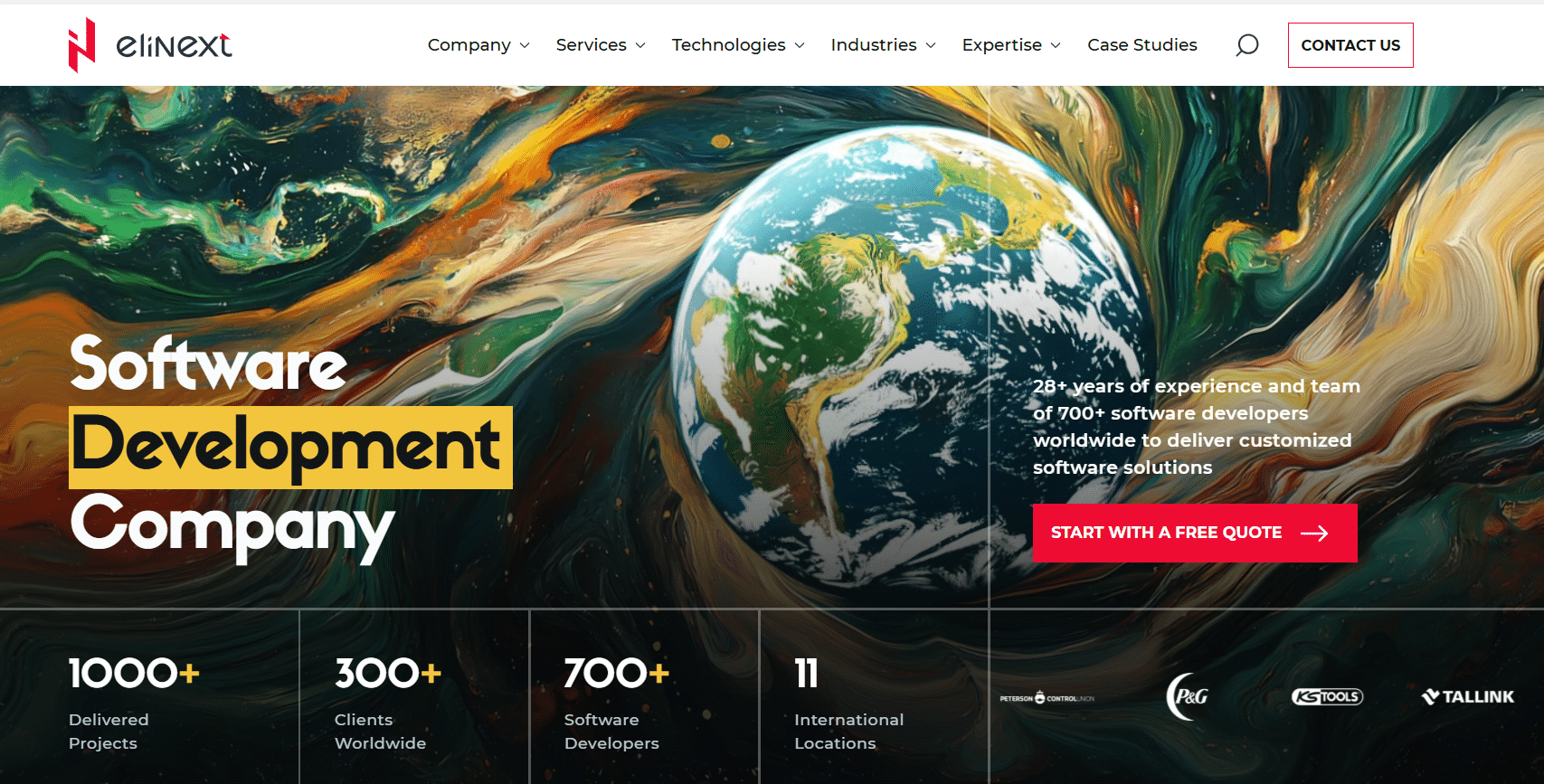
Elinext

Core GIS Stack: ArcGIS, QGIS, AutoCAD, MapInfo
Services: Custom GIS apps, modernization, integration
Hourly Rate: $25–49
Team Size: 250–999
Founded: 1997
Locations: Poland, Georgia, Vietnam, Kazakhstan, Uzbekistan
Elinext provides GIS software development for companies of various sizes. With a strong focus on modernization and system integration, the company creates tools that integrate into real processes, from planning to on-site coordination. The extensive list of the team’s GIS services includes software for scheduling, inspection management, field service management, construction equipment management, construction ERP, and more. Elinext develops modern geospatial solutions, upgrades legacy mapping platforms, and integrates GIS with ERP and analytics systems. Industry expertise and tech skills enable the company’s team to deliver practical results for construction firms.
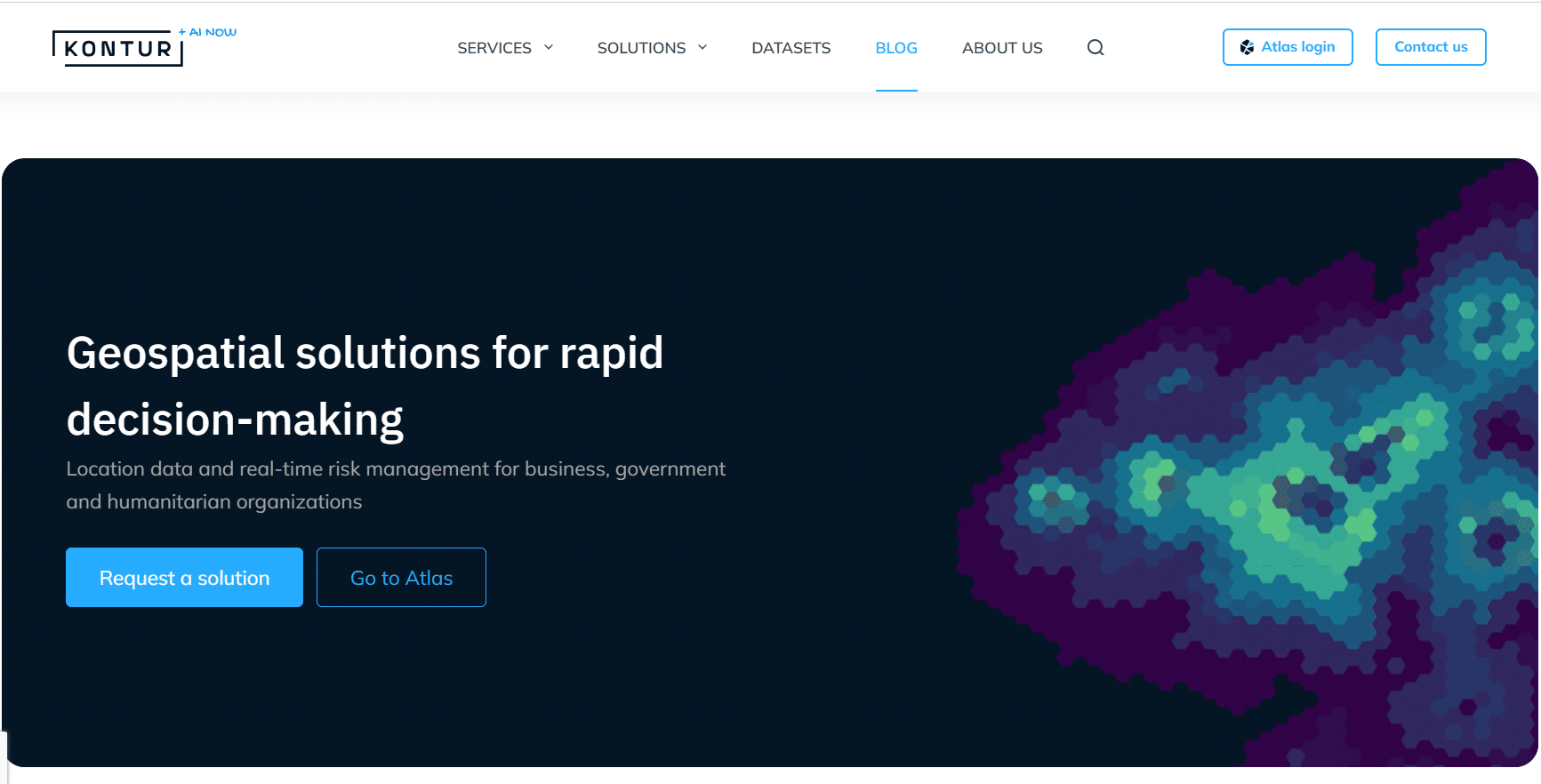
Kontur

Core GIS Stack: ArcGIS, QGIS, AutoCAD, MapInfo
Services: Risk mapping, geospatial analytics, data platforms
Hourly Rate: Undisclosed
Team Size: 50–249
Founded: 2000
Locations: USA, Poland, Switzerland
Kontur develops advanced GIS platforms with an emphasis on spatial risk analysis, disaster mapping, and location intelligence. The company has a keen focus on location data and real-time risk management for quick and wise decisions. The team utilizes proprietary data models to deliver mapping systems specifically for humanitarian, environmental, and infrastructure contexts. Among the other GIS services, the company offers Kontur Atlas, a system of algorithms, data, and tools for precise and easy decision-making. Their primary strength is transforming complex spatial datasets into usable digital products, which enables them to offer practical analytical GIS software for clients.
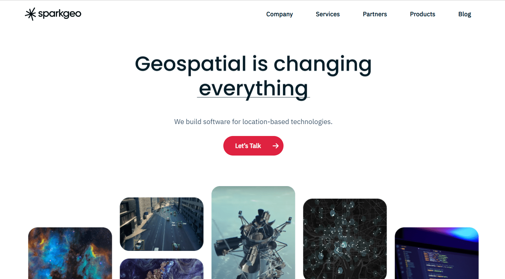
Sparkgeo

Core GIS Stack: ArcGIS, QGIS, AutoCAD, MapInfo
Services: Web GIS, spatial data engineering, cloud mapping
Hourly Rate: $125–175
Team Size: 20–50
Founded: 2010
Location: Canada
Sparkgeo has over 15 years of experience in developing geospatial software and solutions for global companies. They create industry-specific products, reinforcing capacity and speeding up product development time for their clients. With a narrow focus on the GIS sector, Sparkgeo is praised for building modern, cloud-based GIS applications. Specifically, they design interactive mapping platforms, spatial APIs, and data-driven GIS solutions crafted for the individual needs of startups or large government and research organizations. They prioritize usability and custom workflows, transferring their clients from static maps to fully operational geospatial products backed by scalable backend architecture.
GeoMarvel

Core GIS Stack: ArcGIS, QGIS, AutoCAD, MapInfo
Services: GIS consulting, custom development, data management
Hourly Rate: $85–135
Team Size: 15–25
Founded: 2015
Location: United States
GeoMarvel has more than 30 years of experience in the GIS software development sector. Their team applies skills and technology to build flexible, modern infrastructure and software solutions, helping clients embrace the full power of GIS. Specialized development and consulting services are directed to organizations seeking to leverage location data for more powerful business expansion. GeoMarvel creates custom mapping applications, data management systems, and location-based analytics tools. They are particularly strong in implementing ArcGIS-centered ecosystems and optimizing geospatial infrastructure for resilient operational use.
Leveraging modern GIS solutions is not only about advanced geospatial technology but also about preparing the system’s capacity for accommodating the required tools. The right modernization partner should possess deep tech expertise, knowledge, and skills in both legacy and contemporary tech stacks, and domain-specific experience. The companies listed above are proficient in building GIS software and understand the specific requirements in this field. They have strong capabilities to effectively move from outdated systems to high-performing GIS tools ready to meet future challenges.

